
Submit a Manuscript to the Journal
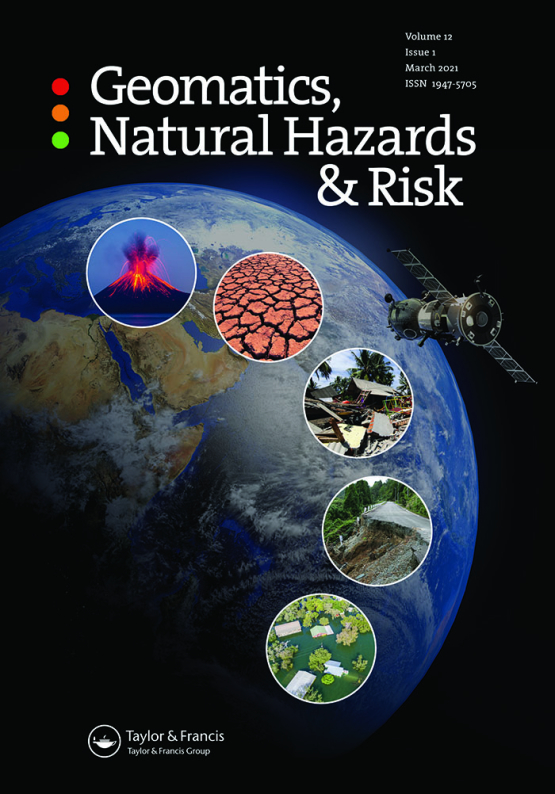
Geomatics, Natural Hazards and Risk
For an Article Collection on
From Big InSAR Data to Geohazard Knowledge: Automated Approaches for EGMS Data
Manuscript deadline

Article Collection Guest Advisor(s)
Dr. Matteo Del Soldato,
University of Florence, Italy
matteo.delsoldato@unifi.it
Dr. Camilla Medici,
University of Florence, Italy
camilla.medici@unifi.it
Dr. Guadalupe Bru Cruz,
Geological Survey of Spain (IGME), Spain
g.bru@igme.es
Dr. Pablo Ezquerro Martin,
Pyrenean Institute of Ecology (IPE-CSIC), Spain
p.ezquerro@ipe.csic.es
Benefits of Publishing in an Article Collection
An Article Collection is an opportunity for your research to reach the right audience. Bringing together the work of the global research community, Collections provide readers with a central place to find the latest research on emerging and important topics. They have been found to increase the discoverability and visibility of each article, as well as article-level citations.
From Big InSAR Data to Geohazard Knowledge: Automated Approaches for EGMS Data
Geomatics, Natural Hazards and Risk is pleased to welcome you to submit your research to the Article Collection "From Big InSAR Data to Geohazard Knowledge: Automated Approaches for EGMS data".
Multi-Temporal Interferometric Synthetic Aperture Radar techniques are a well-established standard for measuring slow ground deformation with millimetre accuracy over wide areas. The launch of Sentinel-1 and, since 2022, the European Ground Motion Service (EGMS) within the Copernicus Land Monitoring Service have made billions of free, homogeneous and annually updated measurement points available across Europe. This abundance has moved the bottleneck from measurement to interpretation: extracting geohazard information from millions of points and their displacement time series can no longer rely on manual, expert-driven inspection alone. Automatic and semiautomatic procedures, such as the clustering of measurement points, time series classification, decomposition of Line of Sight velocities, and integration with thematic layers, are becoming the key step between raw interferometric products and usable knowledge on ground instability.
Ground deformation causes damage and losses worldwide, yet civil protection authorities, land planners and infrastructure managers still rarely exploit these data to their full potential. The main limits are their volume and complexity, and the specialist skills needed to interpret them. Automated workflows lower this barrier: they provide reproducible, transparent and scalable screening of wide areas, highlight the areas deserving detailed investigation, and support the updating of hazard inventories that are often incomplete or outdated. They also make results comparable between territories and over time, which is essential to prioritise resources and evaluate mitigation measures. Demonstrating and benchmarking such approaches on real case studies, and openly discussing their limitations, sensitivity to input data, and validation, is a necessary condition to move from scientific demonstration to operational use in risk management.
This Article Collection welcomes contributions on the automatic and semiautomatic analysis of satellite interferometric data for geohazard detection, classification and monitoring, with particular attention to EGMS and comparable free ground motion services. Topics include, but are not limited to:
- algorithms and open tools for identifying and classifying Active Deformation Areas;
- time series analysis, trend and anomaly detection;
- machine learning applied to displacement data;
- integration with geological, geomorphological, geotechnical, hydrogeological and in situ data;
- applications at regional to local scale to landslides, subsidence, sinkholes, uplift, volcanic and tectonic deformation and structural settlement;
- validation, uncertainty and quality assessment;
- downstream services, web platforms and transfer to civil protection and land planning.
Original research articles, case studies and reviews are all encouraged.
Meet the Guest Advisors
Dr. Matteo Del Soldato is a tenure-track Assistant Professor (RTD-B) at the Department of Earth Sciences, University of Florence, where he teaches Soil Conservation, Environmental Geology, and Thematic Cartography and GIS. His research focuses on satellite remote sensing, particularly radar interferometry (InSAR), applied to ground deformation analysis and monitoring, landslides, subsidence, and geomorphological change, as well as soil erosion and soil consumption.
Dr. Camilla Medici is a postdoctoral researcher at the Earth Sciences Department of the University of Florence, where she works on satellite radar interferometry applied to ground deformation and geohazard assessment. Her research focuses on the exploitation of large InSAR datasets, including EGMS products, for the analysis of landslides, subsidence, and damage to buildings and infrastructure, and on the development of automatic tools and downstream services addressed also to non-expert users.
Dr. Guadalupe Bru Cruz is an Earth scientist at the Geological and Mining Institute of Spain (IGME-CSIC), part of the Spanish National Research Council (CSIC). She holds a PhD in Environmental Sciences from the University of Almería. Her research focuses on the study and monitoring of geological hazards using Earth Observation, particularly satellite SAR and InSAR techniques.
Dr. Pablo Ezquerro Martin is a researcher at the Pyrenean Institute of Ecology (IPE-CSIC), part of the Spanish National Research Council (CSIC). He holds a PhD from the Technical University of Madrid since 2021. At the Geological Survey of Spain (IGME, CSIC), he focused on studying, monitoring, and modelling geological hazards by integrating satellite radar data. Currently, he also applies these techniques to rock glaciers and snow melting processes in high-mountain environments in the Pyrenees.
The Guest Advisors declare no conflict of interest regarding this work.
Benefits of publishing open access within Taylor & Francis
Sustained readership
Publishing in an Article Collection ensures your research reaches a wide and engaged audience, driving long-term readership and citation impact.
Enhanced visibility
Gain recognition by showcasing your work in a trusted and reputable platform, amplifying your research’s visibility and influence.
Trends and methodologies
Connect with emerging topics and methodologies, positioning your research at the forefront of innovation and shaping the future of your field.
Support
Receive expert guidance at every stage of the publishing process from our experienced journal team, ensuring a seamless experience.
Network
Expand your professional network by collaborating with leading researchers from around the world, fostering interdisciplinary connections.
All manuscripts submitted to this Article Collection will undergo desk assessment and peer-review as part of our standard editorial process. Guest Advisors for this Collection will not be involved in peer-reviewing manuscripts unless they are an existing member of the Editorial Board. Please review the journal Aims and Scope and author submission instructions prior to submitting a manuscript.
Submission Instructions
The deadline for submitting manuscripts is 16 August 2027.
Please contact Hang Ke at hang.ke@taylorandfrancis.com with any questions or requests for discount codes relating to this Article Collection.
Please be sure to select the appropriate Article Collection from the drop-down menu in the submission system.